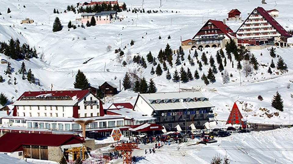
Standout notes
- Strong national-park context and slower mountain rhythm
- Useful base for travelers who want a layered trip over pure terrain…
- Good counterpart to the more historic tone of Popova Shapka

Loading
North Macedonia · Location profile
Hybrid Hub · Multi Day Hub · Mixed
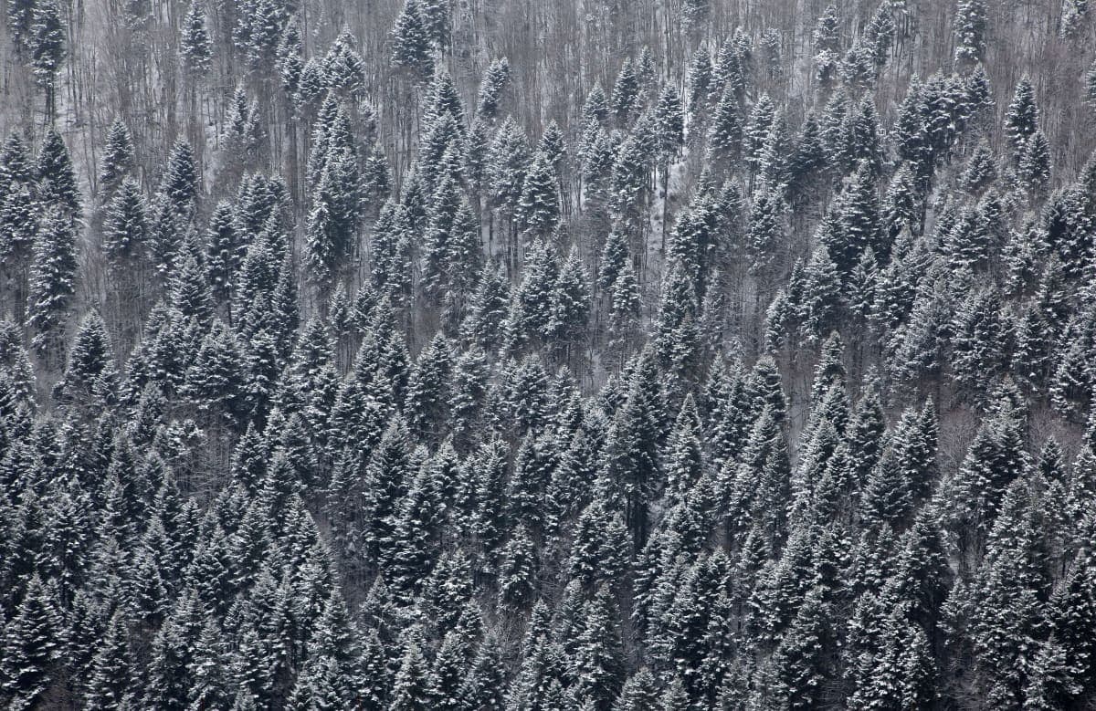
A quieter national-park mountain base where winter travel is defined by atmosphere, local rhythm, and a broader sense of place.
Mavrovo is North Macedonia's clearest mountain anchor, combining national-park atmosphere with a quieter winter rhythm than the more…
Location snapshot
Mavrovo is the clearest way to explain North Macedonia's winter identity: quieter, more layered, and more place-driven than the louder mountain markets around it.
Mavrovo gives North Macedonia its clearest central node and its most readable mountain identity within the Balkan route.
Why Mavrovo
Mavrovo is the clearest way to explain North Macedonia's winter identity: quieter, more layered, and more place-driven than the louder mountain markets around it.
Standout notes
Best rider match
Route notes
Mavrovo gives North Macedonia its clearest central node and its most readable mountain identity within the Balkan route.
Season range
Continental Balkan mountain climate at moderate elevation (1,255-1,860m).
Terrain frame
Detailed ski map and freeride zone mapping still needed for Mavrovo.
Terrain and access
The terrain centers on national-park mountain travel and quieter winter pacing rather than high-intensity resort metrics.
Mavrovo is strongest when sold as a broad mountain environment, not as a hard-charging freeride headline.
Terrain limits
Route context
Best for travelers who want mountain access wrapped inside a broader cultural and atmospheric trip, not just a ski-output itinerary.
Map notes
Detailed ski map and freeride zone mapping still needed for Mavrovo.
Editorial review
Mavrovo is North Macedonia's best all-round mountain anchor, especially for travelers who want atmosphere and depth rather than pure aggression.
“Mavrovo is the right center of gravity for North Macedonia, particularly when the trip values atmosphere and route texture over maximum output.”
Pros
Trade-offs
Skip if
Insider tips
Planning details
Season window
December to March
Lift count
5 (sources show 4-6 range; mid-estimate)
Most trips arrive through Skopje International Airport (SKP, 145 km / 2 hours) and continue west via A2/E65 highway through Tetovo and…
Access notes
Nearest airports
Access
Getting there
Most trips arrive through Skopje International Airport (SKP, 145 km / 2 hours) and continue west via A2/E65 highway through Tetovo and…
Access notes
Nearest airports
Guiding
Guided access
Local ski schools and mountain guides operate at Mavrovo. Specific operator names and contact details need manual verification before publication.
Stay
Accommodation and food
Accommodation at Mavrovo spans budget to mid-range options, with reported pricing from EUR 15-100+ per night.
Gear
Rental and service
Ski and snowboard rental available on-mountain. Specific rental shop names and pricing need verification.
Practical
Infrastructure notes
North Macedonia's largest and most popular ski resort, positioned as one of the Balkans' most affordable winter destinations.
On-the-ground details
Conditions
Continental Balkan mountain climate at moderate elevation (1,255-1,860m).
These are season patterns, not a live feed. Current snow depth, lift status, and road conditions are confirmed with local operators and guides close to your travel dates.
Off-mountain
Non-ski activities at Mavrovo still need to be documented.
Activities
Non-ski activities at Mavrovo still need to be documented.
Nightlife and food
Evening and nightlife details at Mavrovo still need verification.
Trip planning
Mavrovo gives North Macedonia its clearest central node and its most readable mountain identity within the Balkan route.
More in North Macedonia
Sibling location pages should feel like onward paths, not an afterthought at the bottom of the page.
Enquiries
Dates, group size, and what you want out of the trip are enough to start. We reply with terrain reality, season timing, and who can guide you there.